Tonight: Despite the previously record-setting warm of the previous weeks, it will be cold again this week. Tonight our low will be 28 F with noticeable winds of 10 mph form the NE.

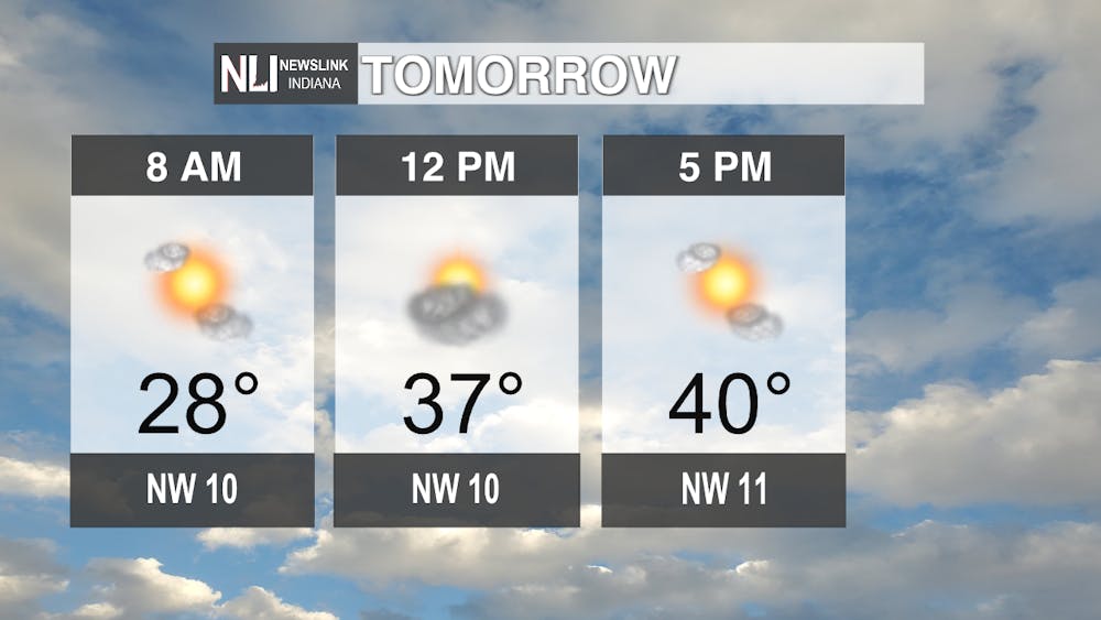
Tomorrow: It will look similar to today with a height of 42 F and 10 mph winds. Expect clear skies for the next couple days before Thursday.
7-Day Forecast: The start of the week will see us experiencing clear skies with temperatures in the 40s. On Thursday, the high will be 47 F with a 60% chance of rain. Friday will see a 20% chance of snow, which we will be keeping an eye on as the week goes on. Saturday will be a cool 31 F, but we will warm back up towards Monday with a high of 47 F. Expect temperatures in the high 20s and low 30s during the evening throughout the week.

--Weather Forecaster Ian Kowalski
Follow us on Twitter @NLIWeather for breaking weather updates.
NewsLink Indiana is a proud Ambassador for the NOAA Weather-Ready Nation program.
For more information about the Weather-Ready Nation program please click HERE


The Daily News welcomes thoughtful discussion on all of our stories, but please keep comments civil and on-topic. Read our full guidelines here.