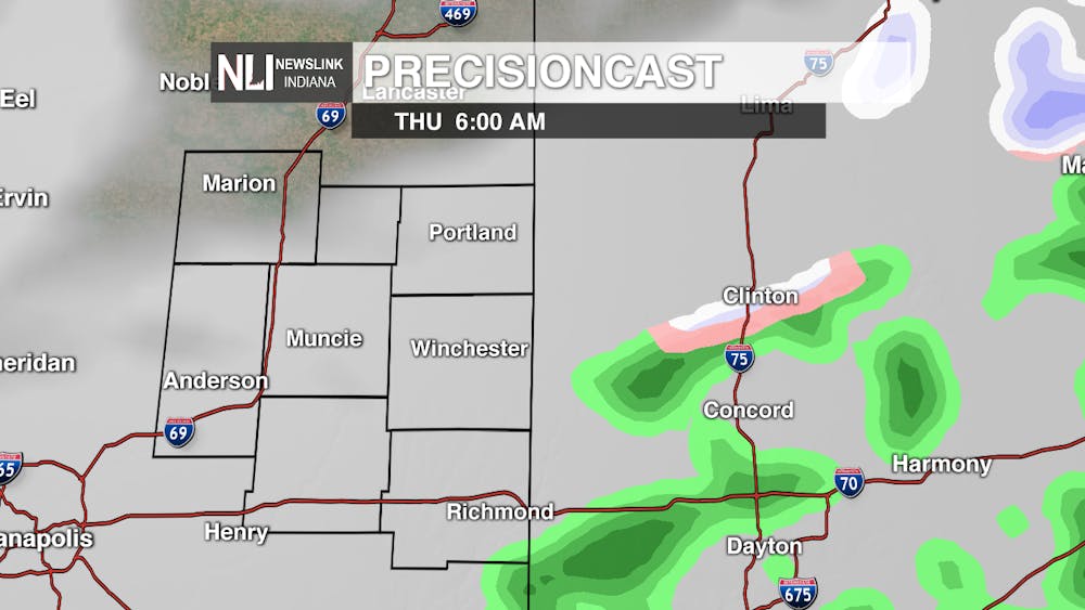
Tonight: Tonight will involve some chance for rain and snow showers as a system moves in during the overnight hours. Winds will be light, but with lows in the mid-30s expected, it will feel cool out tonight.

Tomorrow: Rain and snow showers are possible tomorrow morning, with most of the snow showers leaving after 3 pm. Temperatures will stay in the mid- to upper-30s all day tomorrow, as a cold front brings cool temperatures to Central Indiana. Definitely stay warm for tomorrow.
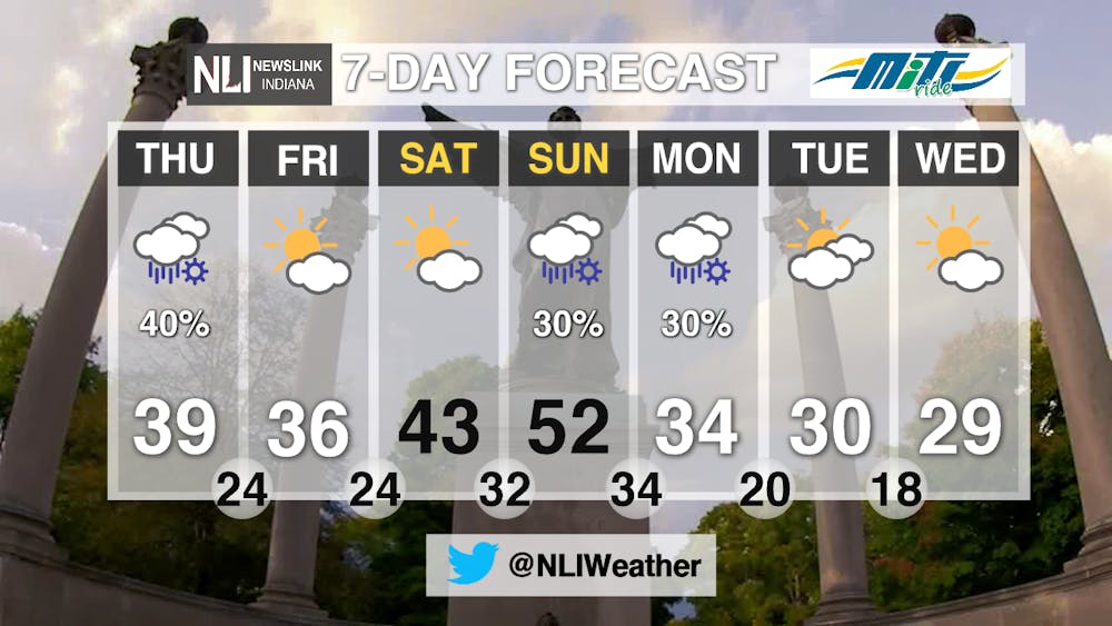
7-Day Forecast: Friday and Saturday will be nice out, with highs in the upper-30s to low-40s and partly sunny skies, as a high-pressure system brings nice conditions to Indiana.

Sunday will see the warmest temperatures of the week, with a high of 52. After that, scattered rain and snow showers will move in Sunday through Monday night, before leaving partly sunny skies. In return, however, expect highs in the upper-20s next week. In other words, you'll want an umbrella and heavy jacket for the next few days.
Follow us on Twitter @NLIWeather for breaking weather updates.
NewsLink Indiana is a proud Ambassador for the NOAA Weather-Ready Nation program.
For more information about the Weather-Ready Nation program please click HERE


The Daily News welcomes thoughtful discussion on all of our stories, but please keep comments civil and on-topic. Read our full guidelines here.